What is a Topographic Survey?
A topographical survey is an accurate depiction of a site which is scaled and detailed to show all the natural and manmade features and their levels.
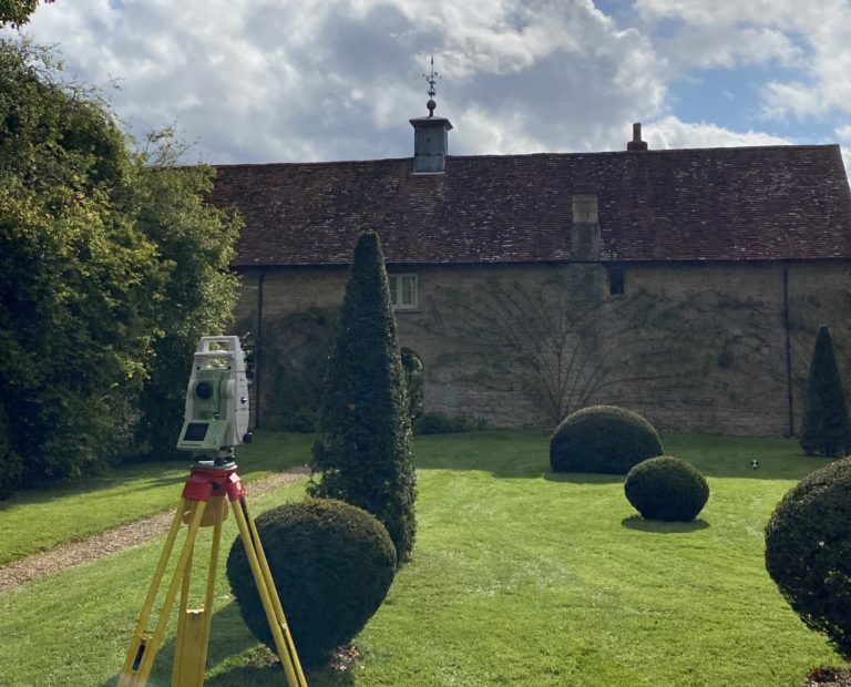
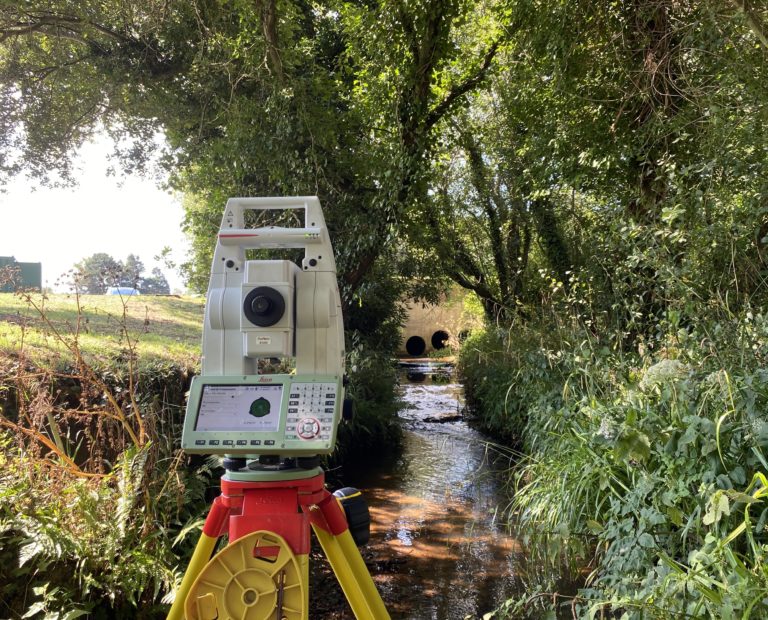
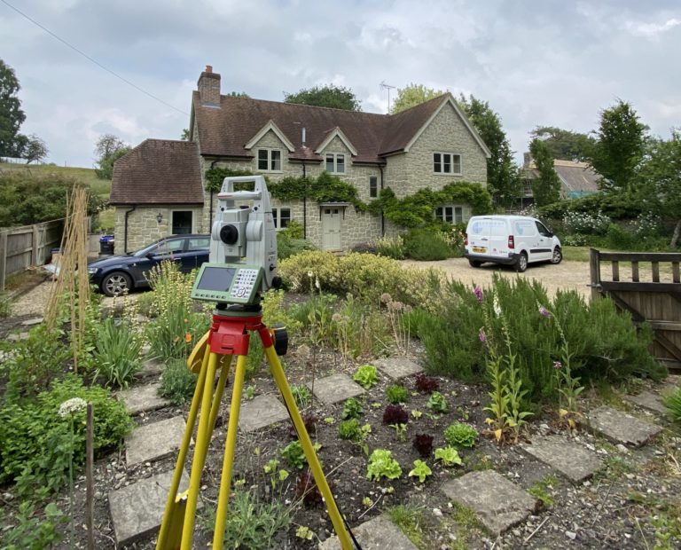
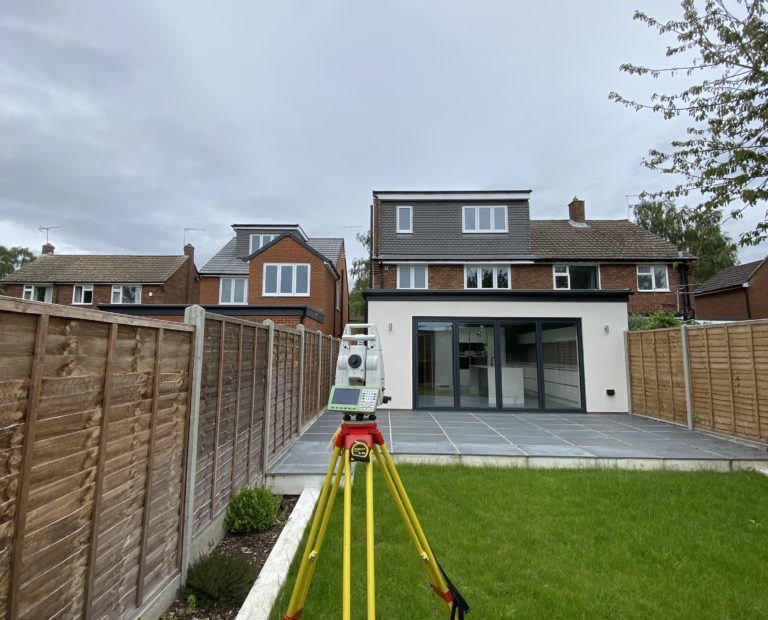
A topographical survey is highly detailed and is conducted through the use of a laser instrument known as a Total Station, accurate in an arbitrary grid to +/-10mm, however, topographic survey data can also be related to the national Ordnance Survey grid and datum to be positioned to an accuracy of +/-30mm through the use of GPS.
Benefits of a Topographic Survey
Topographic surveys have many benefits and are used in nearly all construction environments to provide relevant information to those involved in the development of the land or property.
Obtaining the correct geospatial information early on in a design or planning process can save time and cost by providing architects or designers a digitised map of the lay of the land and surrounding properties and boundaries. This can help in positioning new buildings / extensions, knowing the extents of site or even in the design of drainage schemes.
Get in touch for a Topographic Survey
If you would like some advice or would like a quote for an upcoming project then please get in touch.
Contact us


