Setting Out Services
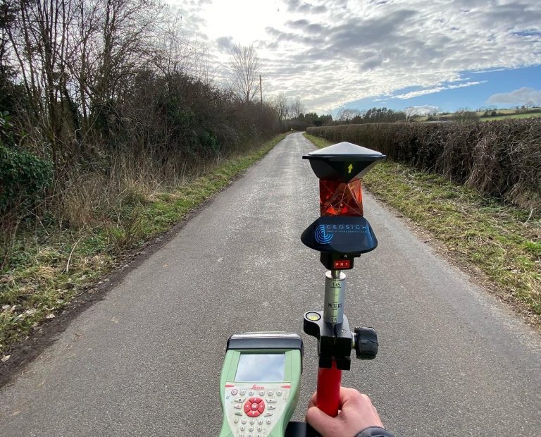
The importance of getting structural elements in exactly the right place cannot be underestimated. GEOSIGHT can offer a comprehensive setting out service to ensure that you only dig or build once, saving costs in the long run.
Contact UsMonitoring Surveys
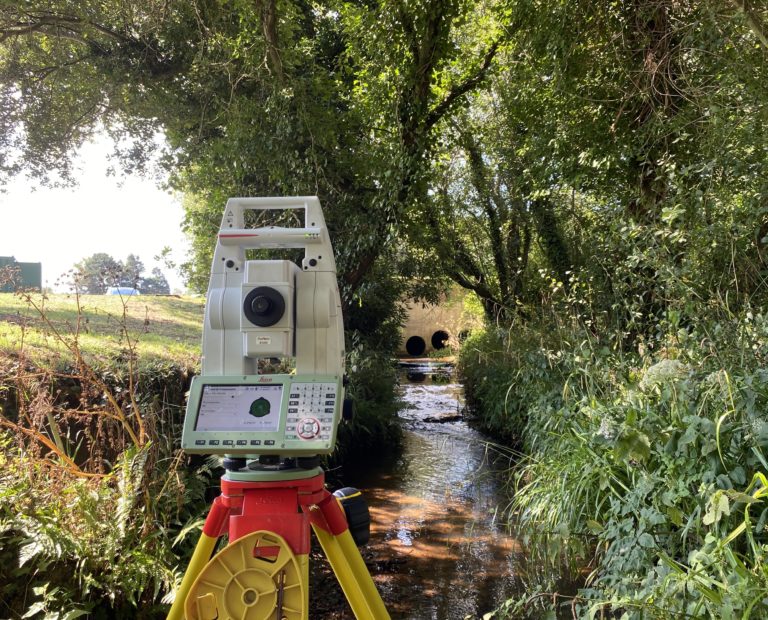
GEOSIGHT offer an integrated movement monitoring service enabling engineers to monitor and model the built and dynamic natural environment. We have experience in undertaking monitoring surveys to identify the settlement of buildings, deformation of civil structures and the movement of natural features to the highest order of accuracy, using precision survey instruments such as digital levels, high accuracy reflectorless total stations, and where practicable RTK GNSS.
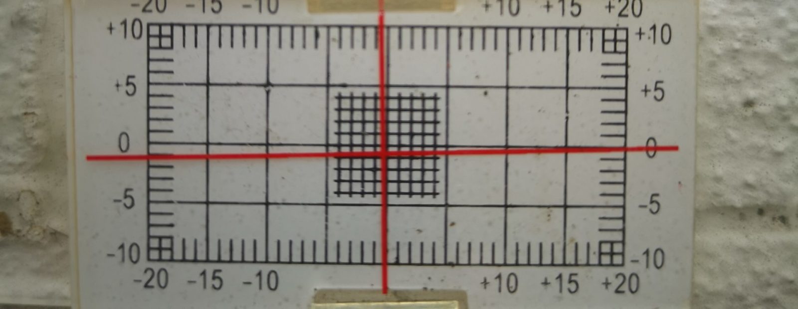
We can detect and map small changes in the vertical and horizontal movement of features and provide full 3D XYZ coordinate differences in both real-time or over longer time periods to identify changes and trends. Each monitoring programme that we undertake is designed specifically for the required duration, sensor type, measurement frequency, accuracy and reporting format.
Contact Us
Get in touch for a Civil Engineering Survey
If you would like some advice or would like a quote for an upcoming project then please get in touch.
Contact us

