GEOSIGHT Measured Building Surveys (MBS) can include a wide variety of details, but most often cover:
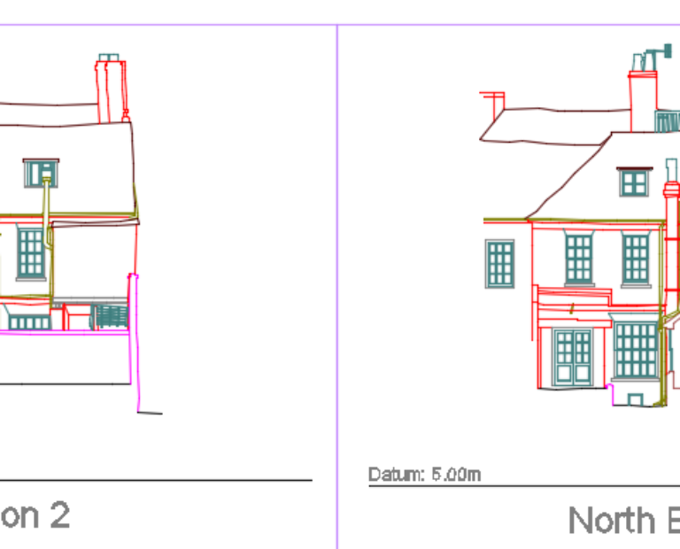
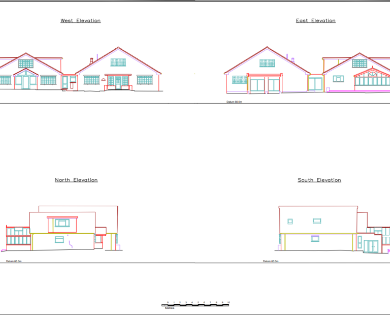
- Building Elevations
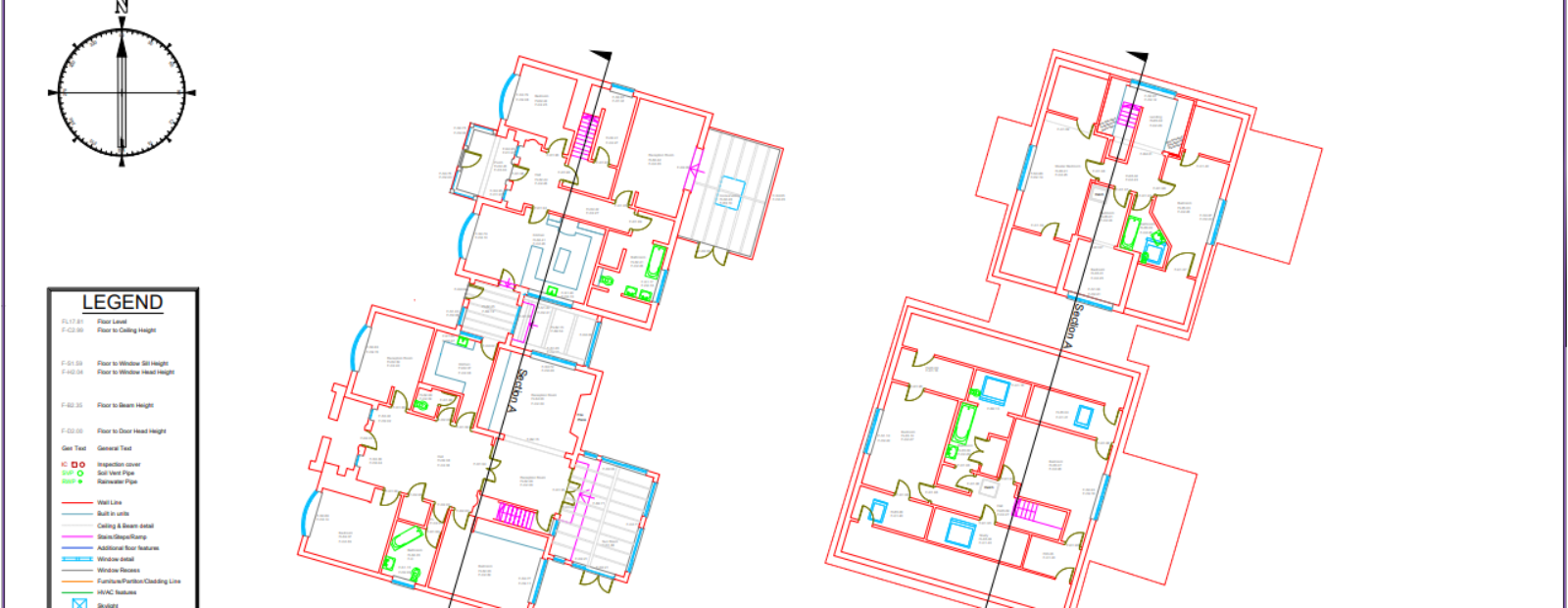
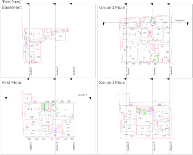
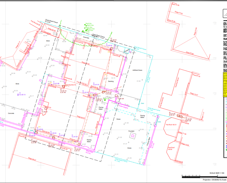
- Roof & Floor Plans
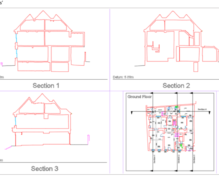
- Cross Sections
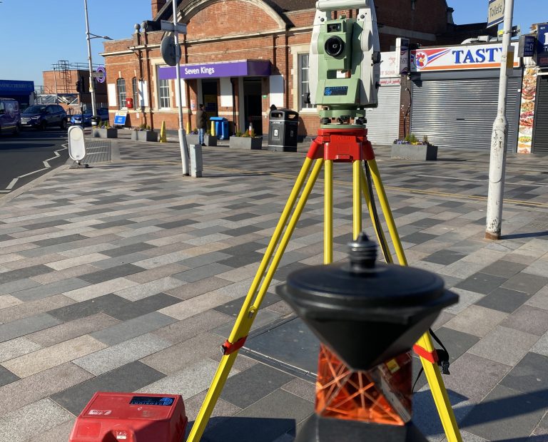
All our MBS are undertaken using advanced survey methods. A Leica Total Station is used to collect any topographical data surrounding the building, and any prominent structural or elevation data for cross reference purposes. For comprehensive feature coverage we utilise a Leica BLK360 Laser Scanner which is used both internally and externally to produce a point cloud virtual model of your property.
From this model we can then draw dimensionally accurate internal and external elevations, floor and reflected ceiling plans, including building outlines; roofs and fascias; window, door and opening details; downpipes and services, and any additional features required by your survey that are visible.
As a quality check exercise, both the topographic and point cloud data are compared against one another after being correctly adjusted to Ordnance Survey National Grid coordinates to ensure that all our data matches and looks just as it should.
Here are a few examples below:
Measured Building Survey

Related

Large Scale Topographic Site Surveys
Sustrans View project