Marine Services
-

Hydrography
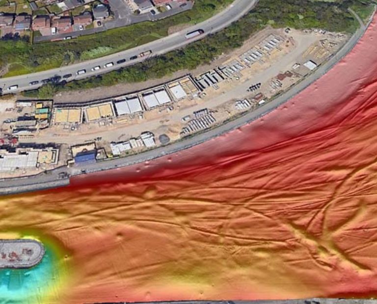
GEOSIGHT are specialists in nearshore and inland waterway environments. We can manage projects from first inception to a full charting deliverable.
Click to find out more
-

Dimensional Control
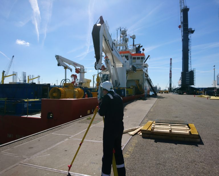
We specialise in precise Dimensional Control Surveys, and vessel calibration which is provided to our international client base.
Click to find out more
-

Marine Engineering
GEOSIGHT can provide naval architects and commercial vessel ownsers with geomtric data compliant with the Merchant Shipping Notice 1823(M).
Click to find out more
-

Information Modelling
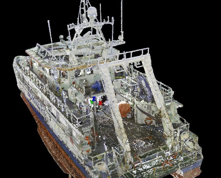
GEOSIGHT utilise a variety of techniques for Vessel Information Modelling (VIM). This includes the use of creaform and metrology grade scanners.
Click to find out more
-

Dockyard Asset Surveys
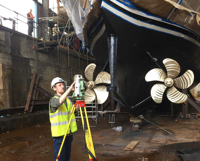
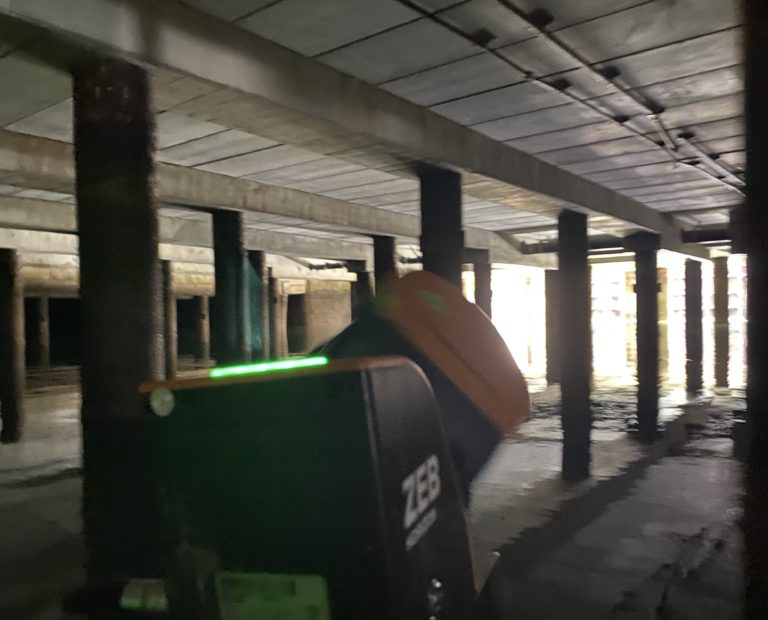
GEOSIGHT can undertake scanning and modelling from above and below quay wall structures, dolphins and confined spaces.
Click to find out more
-

Vessel Charter
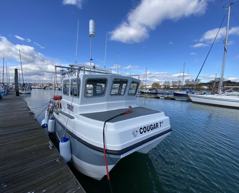
GEOSIGHT’s fully road transportable 7m catamaran ‘Taran’ can be chartered for nearshore and shallow water hydrographic survey services.
Click to find out more
Want to get in touch?
If you would like some advice or would like a quote for an upcoming project then please get in touch.
Contact us