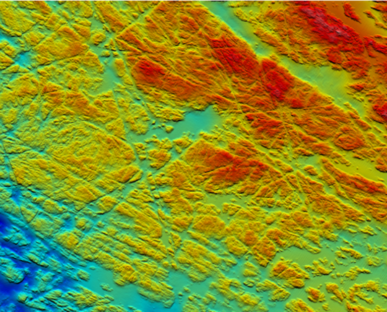
Hydrographic Survey of Inner Harbour Wall
Port and Harbour Client View project
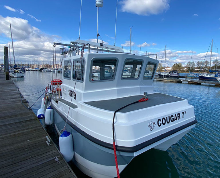
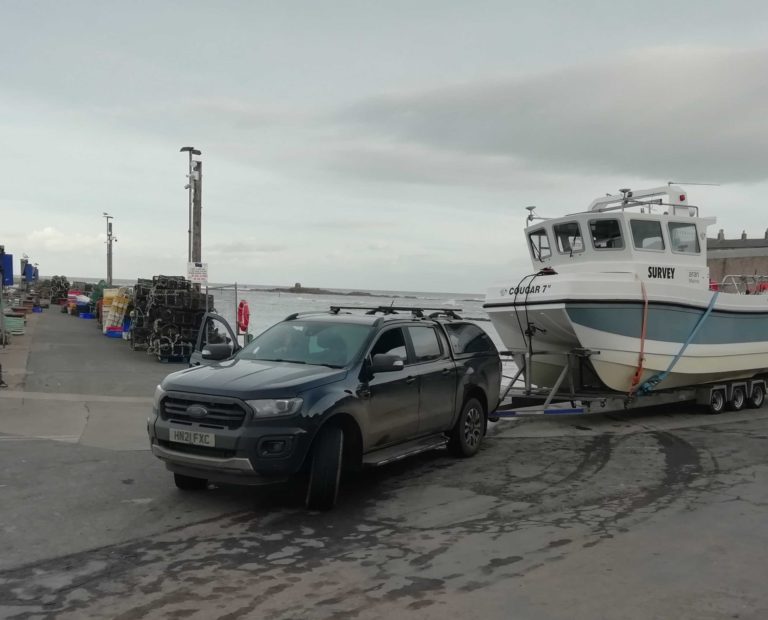
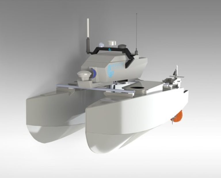
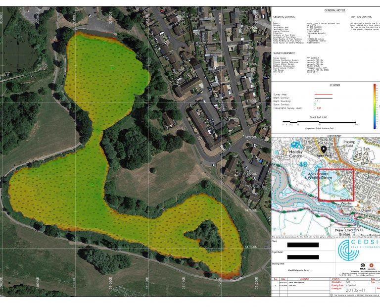
GEOSIGHT are specialists in the conduct of nearshore and inland waterway geophysical surveys. Utilising a variety of techniques and technologies with both small manned and unmanned vessels equipped with GNSS positioning, Multibeam, Sidescan Sonar, Magnetometer and Sub-Bottom Profilers; data can be captured for bathymetric charting, feature and object detection and determination of the shallow seabed geology.
Our surveyors have many years’ experience of conducting hydrographic surveys for a broad range of projects and applications.
Nearshore and Inland Geophysical Surveys PDF FLYER Contact Us
As a member of the UKHMA, GEOSIGHT understand the concerns from harbour masters relating to the safety of navigation in ports and harbours. Specialising in land and hydrographic surveys, GEOSIGHT can offer complete or partial surveys of a port; using multibeam sonar to map below the waterline including the seafloor and quay wall structures, through to laser scanning buildings, pontoons and slipways.
Our highly qualified and experienced surveyors are experts in conducting shallow water bathymetric surveys. We can capture precise hydrographic information to support the safety of navigation in compliance with the Port Marine Safety Code. From depth charting to locating submerged obstructions, GEOSIGHT have over 20 years of experience in this field.
Ports & Harbour PDF FLYER Contact UsAsk any offshore surveyor, there is no such thing as “Plug and Play”. GEOSIGHT have built over 20 years of experience mobilising and calibrating survey vessels. Our highly experienced team are experts in physically installing survey equipment and networking the software to allow all survey systems to work as intended.
With further understanding of geodesy and positioning, the GEOSIGHT team are able to conduct navigational and gyro checks, with the ability to produce a report for the client.
GEOSIGHT are able to further assist clients with the calibration of the survey equipment to allow for onward survey operations. With GEOSIGHT you can pick and choose the help you require, because there is never a simple or straightforward mobilisation. For more information please download our flyer below.
Mobilisation & Support Services PDF Flyer Contact UsGEOSIGHT through its associate network of trusted and qualified survey personnel have extensive experience within the marine survey industry. Our experience includes development of survey specifications; survey planning and project management; data QA and reporting; MBES installation and commissioning.
GEOSIGHT are well positioned to provide advice, guidance and ongoing consultancy in respect of all phases of survey planning and offshore operations. We are also able to provide offshore survey personnel and client representation using out trusted associate network to ensure both survey specifications and health and safety standards are being adhered to.
Marine Project Management & Consultancy PDF Contact Us
