Total Stations
-
Leica MS60
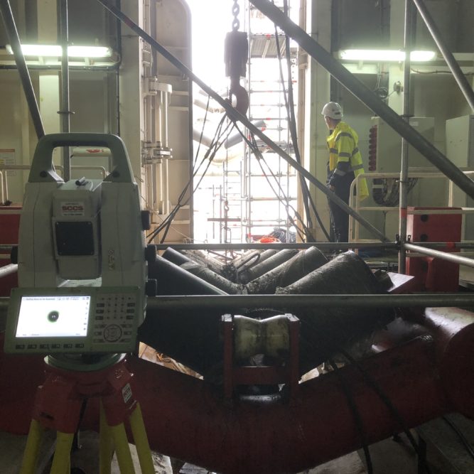
The Leica MS60 could be considered the flagship of our survey equipment fleet. It is a versatile tool capable of functioning as either a total station or laser scanner at ranges of up to 1km. This gives our surveyors in the field a tremendous amount of flexibility to gather accurate data regardless of the challenges they may encounter.

-
Leica TS16
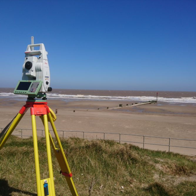
The Leica TS16 robotic total station is our most hard-working instrument, used in almost every aspect of land surveying. It provides a good balance between performance and reliability and can measure accurately in the most challenging, of environments.

Laser Scanners
-
Leica BLK360
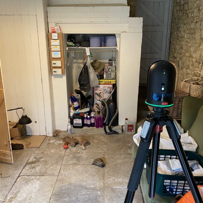
The Leica BLK360 has proven to be a rugged little scanner, capable of being easily transported and fits into areas where larger scanners simply cannot go. This tool is used primarily for measured building surveys allowing our surveyors to quickly map the entire building. By having a complete point cloud upon leaving the site, we can confidently say that nothing has been missed and any number of drawings can be produced at a later date, with no need to return to site.

-
Leica RTC360
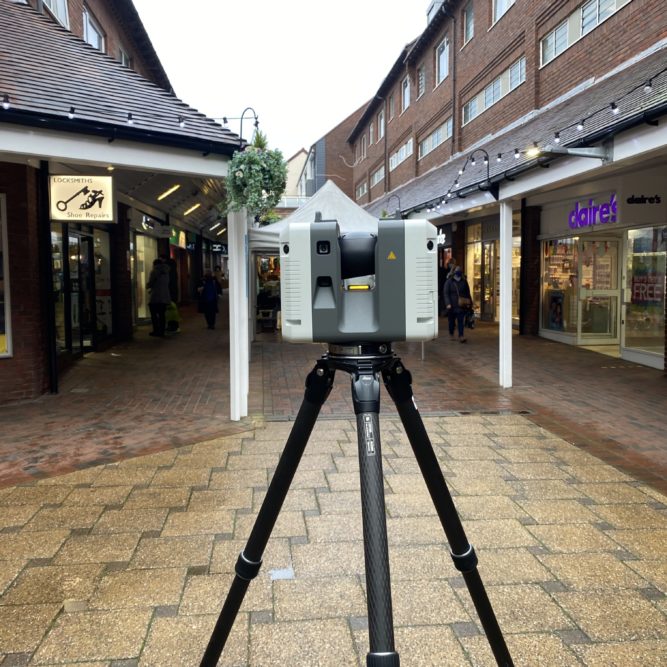
The Leica RTC360 provides an excellent balance between speed and accuracy and is used either in precision engineering environments or when speed is critical. We have successfully used it to scan in a wide variety of environments including vessels, shopping centres and dockyards. The point cloud data produced is high enough quality to mesh and reverse engineer components and structures. Additionally, this scanner in its protective bag is small enough to be counted as carry-on luggage upon a plane and can be easily taken by our surveyors anywhere in the world.

-
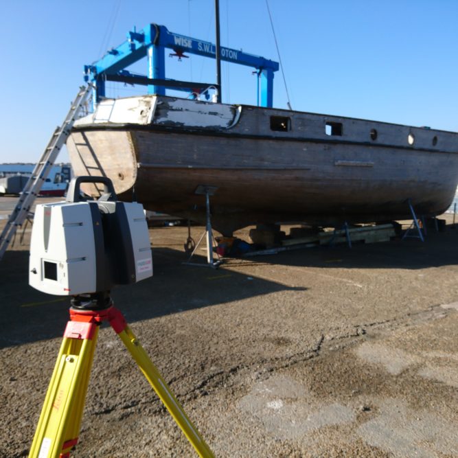
Leica P50
For long-range high precision scanning, our surveyors would always choose the Leica P50. Capable of scanning at a range of up to 1km, this instrument provides highly accurate data to engineering level tolerances. This scanner also features a built in compensator ensuring that the scans are always levelled correctly without the need for extra survey instruments.

-
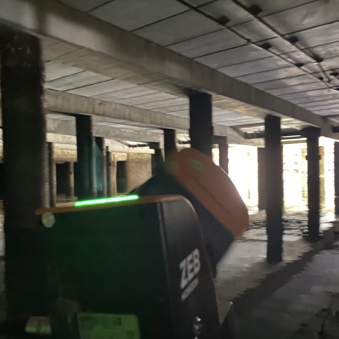
Zeb Horizon
There are survey areas where data needs to be captured and it is just not possible to set up a tripod-based instruments. For these tasks, we use the Zeb-Horizon – a perfect fusion of laser scanning and inertial measuring unit technology. This scanner has enabled us to scan restricted access and partially flooded areas where other means would simply not be possible. It’s speed and flexibility of data capture also allows it to be used in dense areas where obstructions are frequent.

GNSS
-
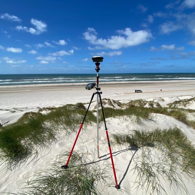
Leica GS16
To support all our other survey equipment, a Leica GS16 antenna is used to provide world coordinated data. Using either Real Time Kinematic or Precise Point Positioning correction methods, we can achieve centimetre level accuracy anywhere on the planet and are not restricted by the limitations of a mobile phone network or distance from reference stations.

