Software
-
GEOBASE
GEOBASE is a GEOSIGHT developed vessel geometry management software application. It is uniquely designed to provide hydrographic surveyors with an independent resource for conducting a vessel dimensional control survey, an attitude and heading sensor calibration, and a GNSS position verification.

-
Beamworx
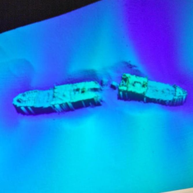
Beamworx is used extensively by the GEOSIGHT hydrographic division for the aquisition and processing of both single and multibeam echosounder data. Beamworx programs are bundled into a single suite, but each program can work completely independantly for acquiring, calibrating and (re-) processing single and multibeam echosounder data.

-
Cyclone / Register 360
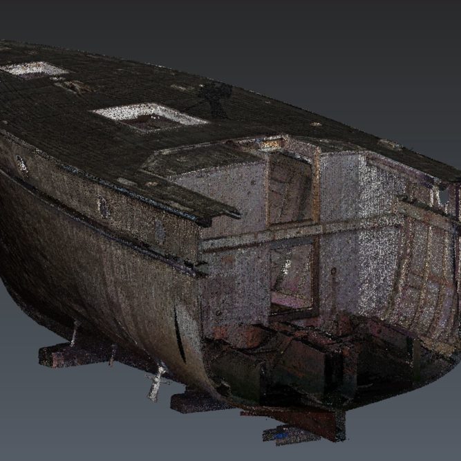
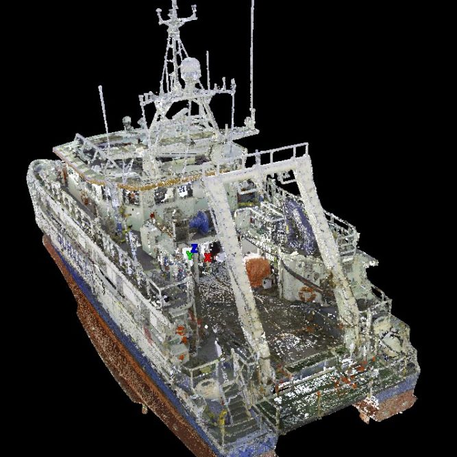
Leica Cyclone REGISTER 360 is a point cloud registration software, which allows our surveyors to work smarter, deliver results more accurately, visualise data in more detail and collaborate more effectively.

-
AUTOCAD 2021
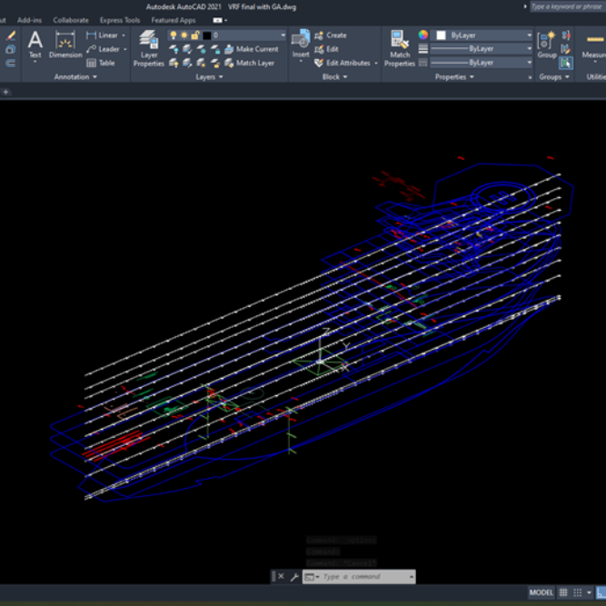
Where would we be without ACAD. GEOSIGHT surveyors are all fluent in the use of ACAD which is used extensively throughout all our surveying divisions, including the use of ACAD Civil 3d and ACAD 3DS Max.

-
Vectorworks 2020
Vectorworks brings our surveyors the flexibility to support an entire project from beginning to end, from conceptual design, to fully coordinated BIM models and construction plans. It’s versatility allows us pull everything together and increase our efficiency.

-
Leica Cyclone 3DR
Leica Cyclone 3DR allows GEOSIGHT surveyors to take field data collection through registration in Cyclone Register 360 and deliverable creation in Cyclone 3DR.
Cyclone 3DR includes a range of adaptable tools for inspection and meshing that can be leveraged to create an assortment of 3D deliverables and reports.

-
Leica Infinity
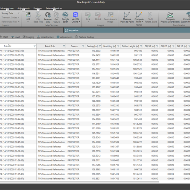
Infinity is a geospatial office software suite used extensively within GEOSIGHT. It is designed to manage, process, analyse and quality check all field survey measure data, including total stations, digital levels, GNSS data and Unmanned Aerial Vehicles (UAVs).

-
N4CE
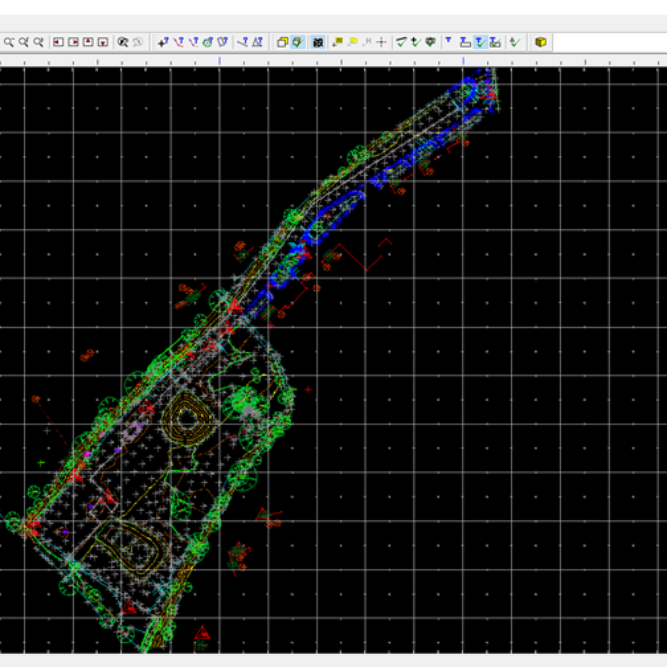
GEOSIGHT topographic surveyors use the N4CE software to pull together observation data from a total station or point coordinate data captured from a GNSS into a unified drawing grid, from where the data can be analysed, adjusted and drafted to create a topographic drawing.


